


Total 5 star reviews: 1 Total 4 star reviews: 0 Total 3 star reviews: 0 Total 2 star reviews: 0 Total 1 star reviews: 0
100%would recommend this product
1 review
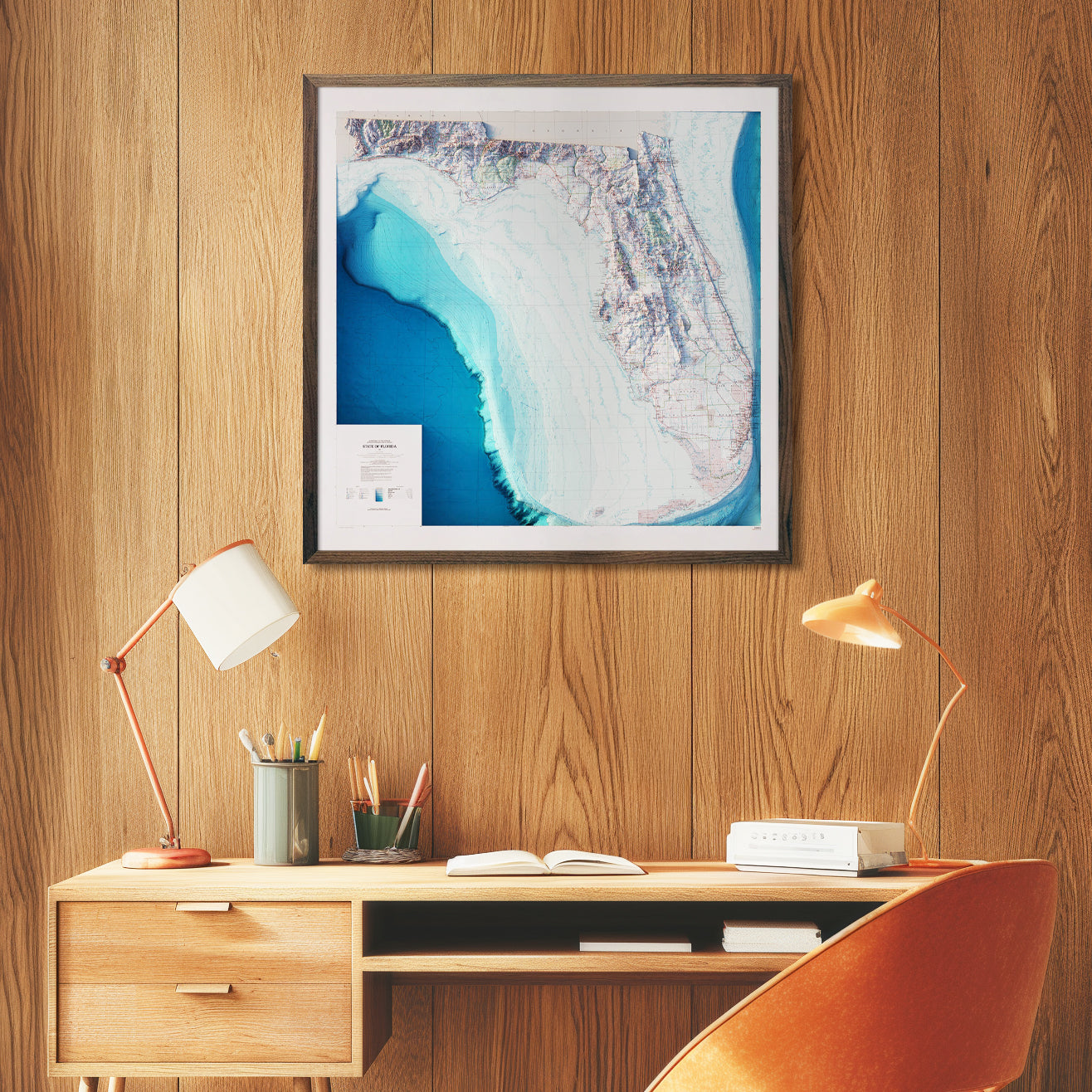
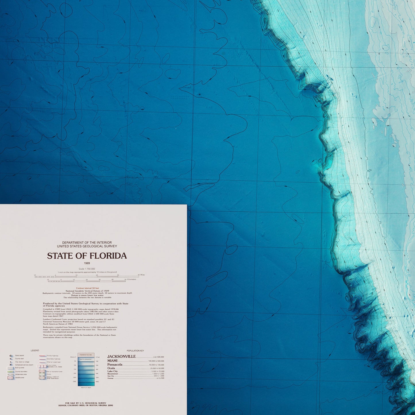
- JMJohn M. S.Verified BuyerRated 5 out of 5 stars3 minutes agoFlorida as I'd never seen it
The printing quality was incredible, as well as the quality of the material itself.
As a sailor, when I saw this map, I knew I had to have a copy.
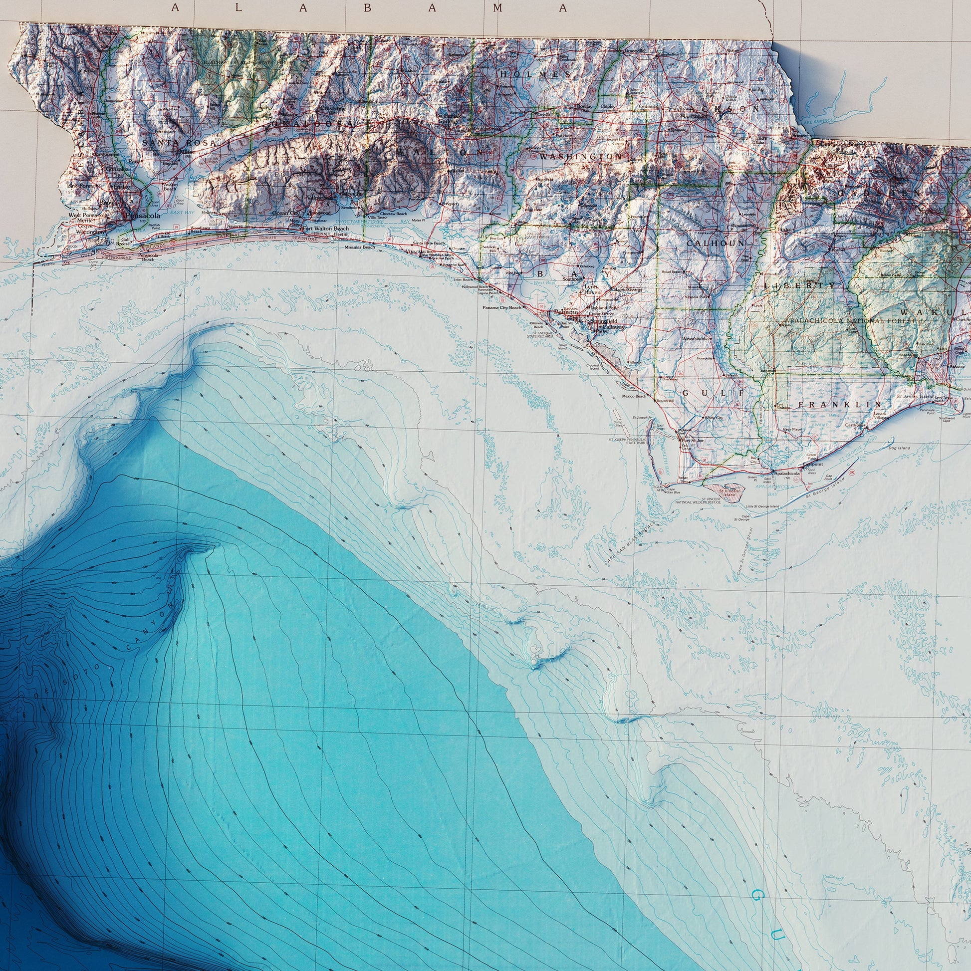
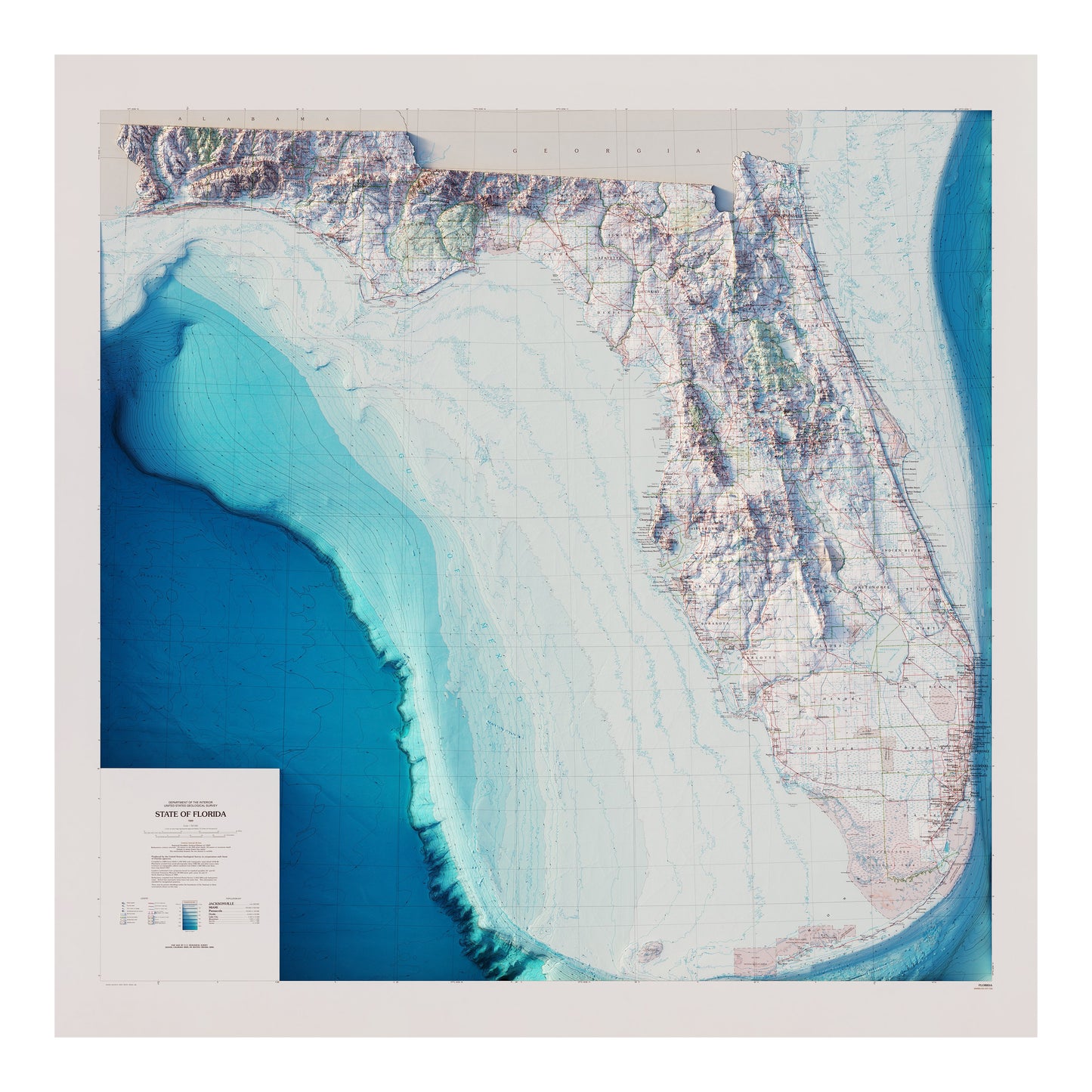
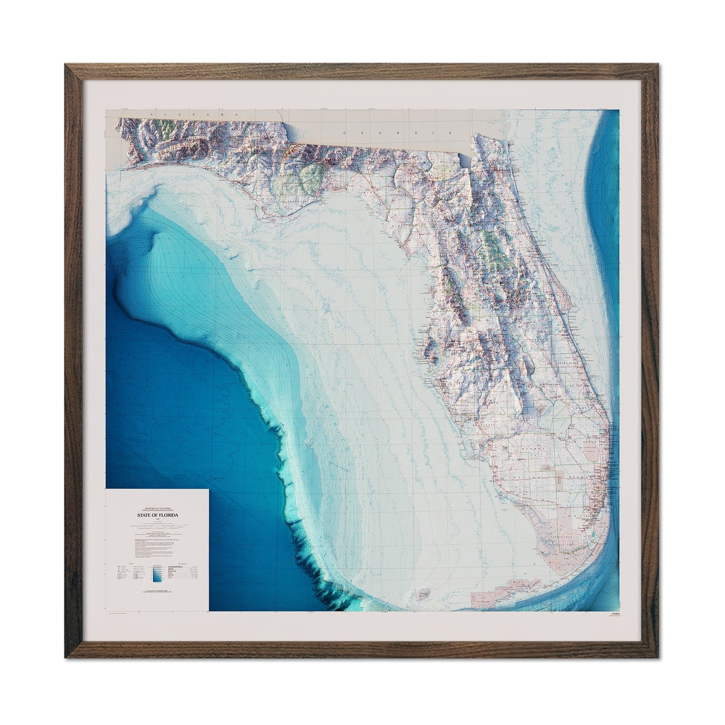
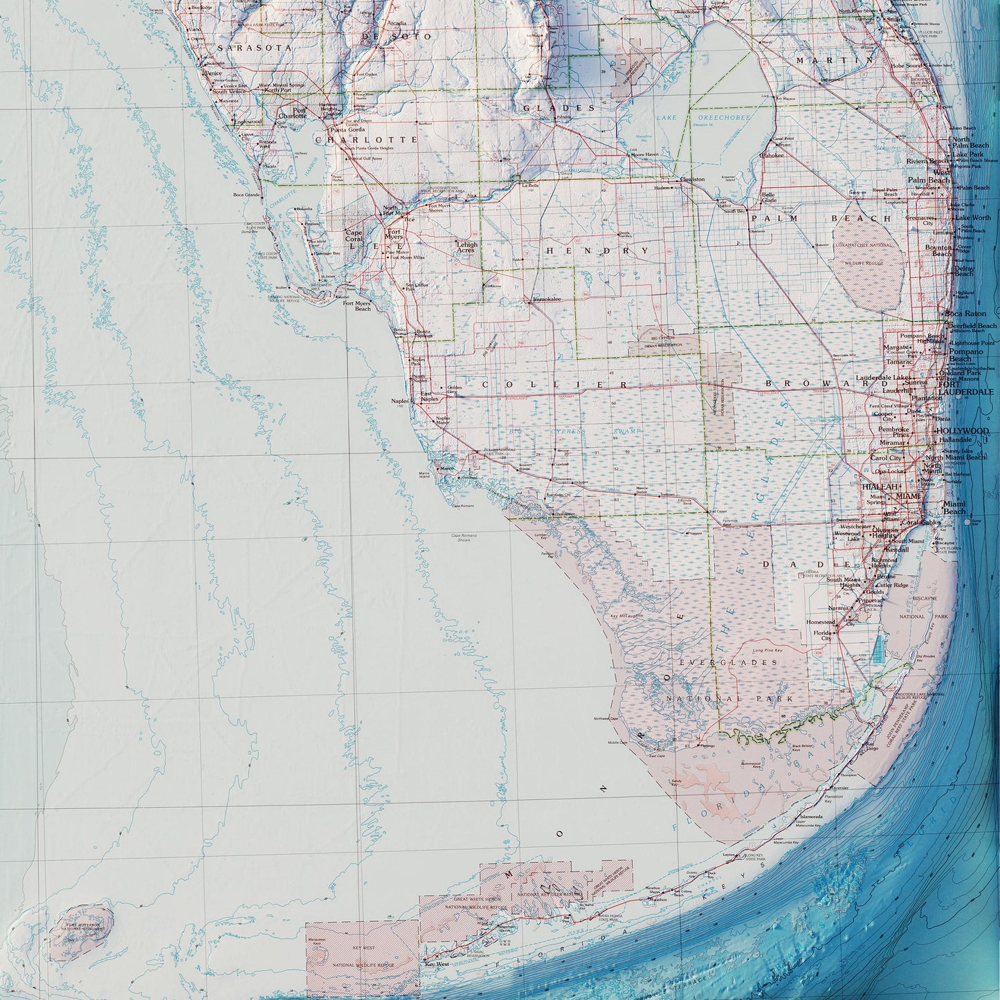
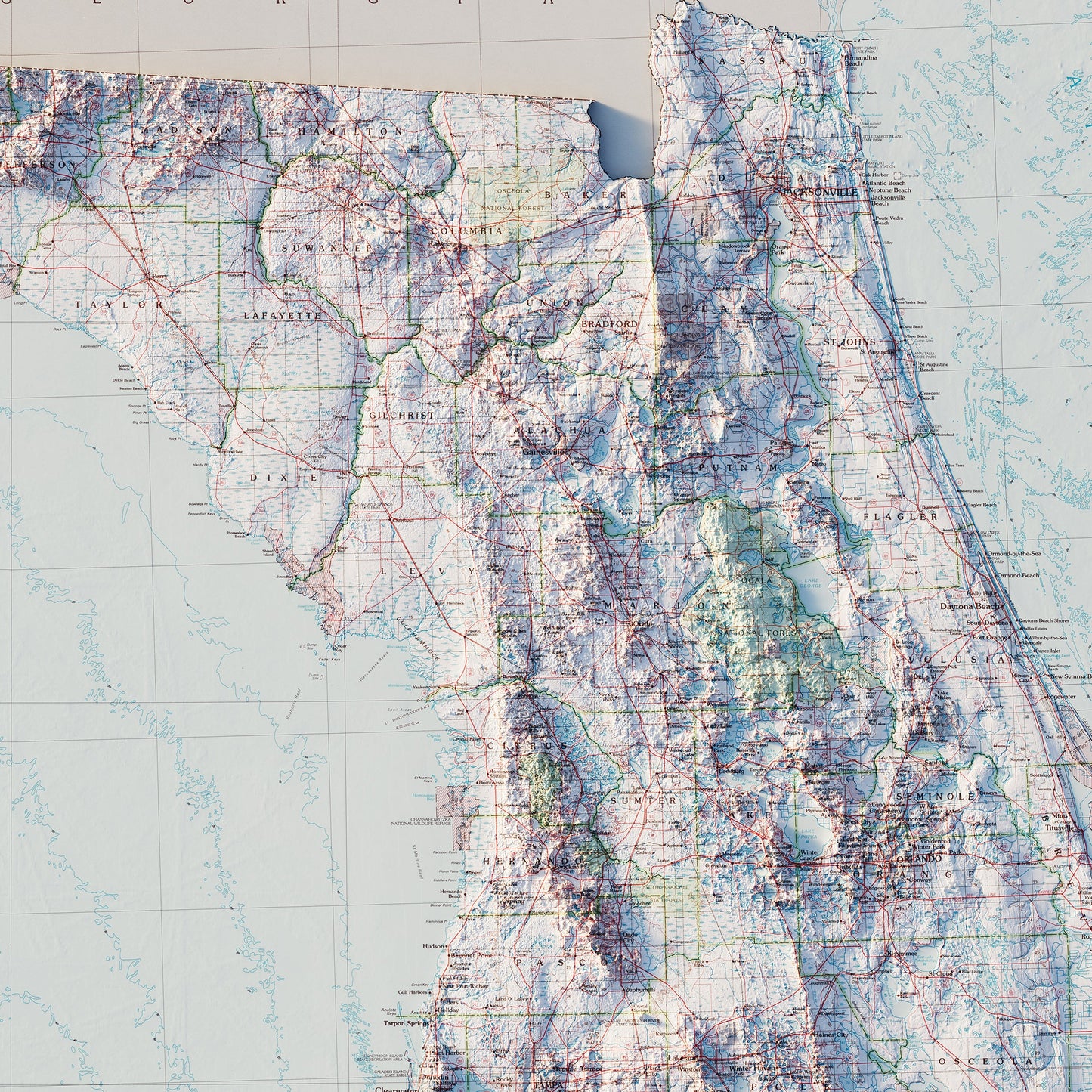
This gives you a clear understanding of the actual size of the Florida peninsula geologically. It's fascinating to get up close to see in detail how the coast under the water falls off from the land above water.
And the colors used are perfect.