Muir Way
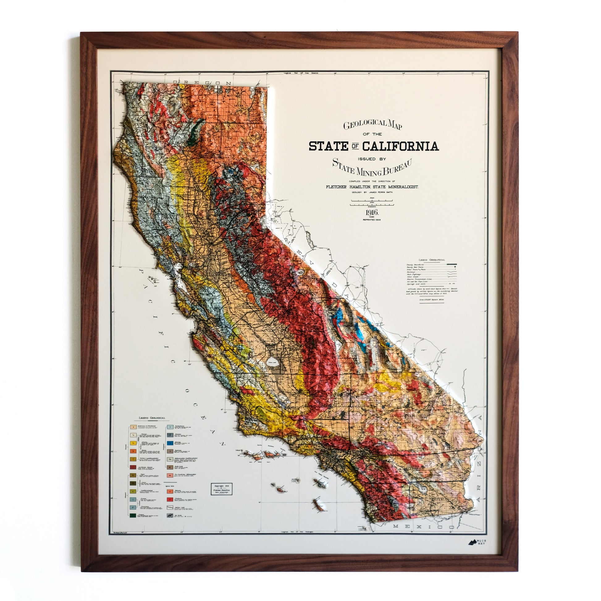
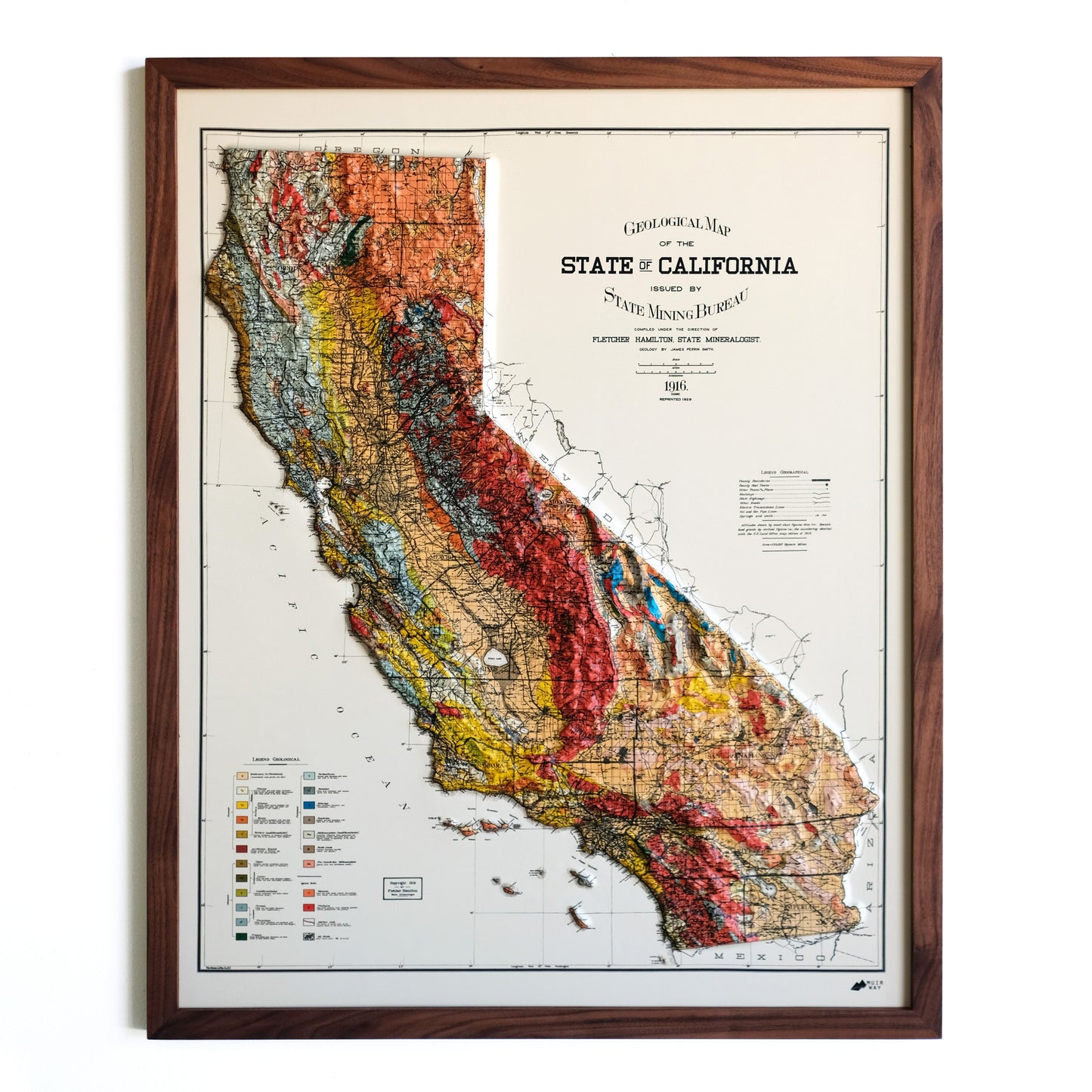
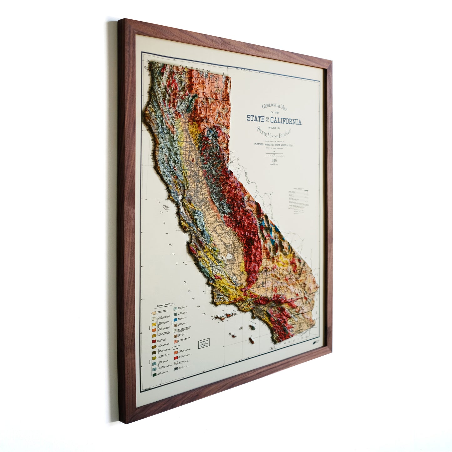
California 1916 3D Raised Relief Map
California 1916 3D Raised Relief Map
Couldn't load pickup availability
Real raised relief to explore through touch and feel.
- Size - unframed 24x30 inches
- Size - framed 25x31 inches
- Material - plastic mounted on mat board
- Handmade real Walnut frame available
- Individually made in our San Diego, CA shop
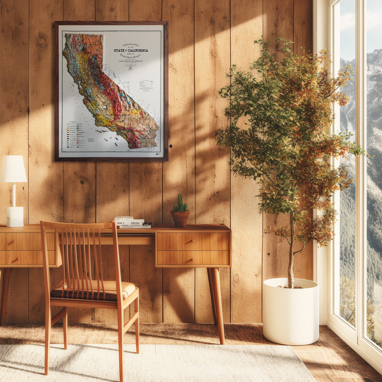
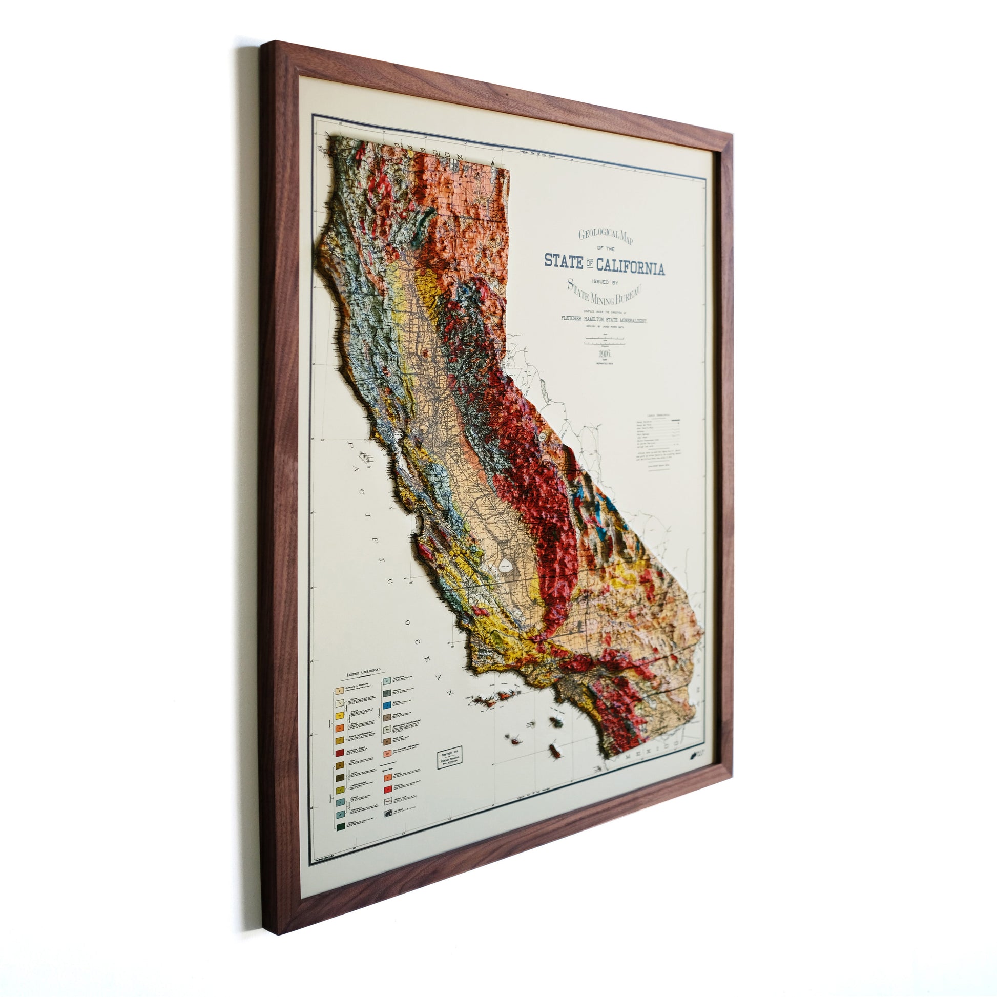
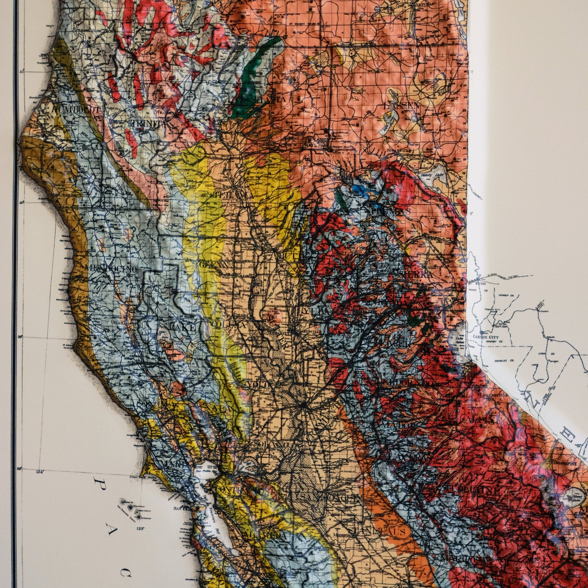
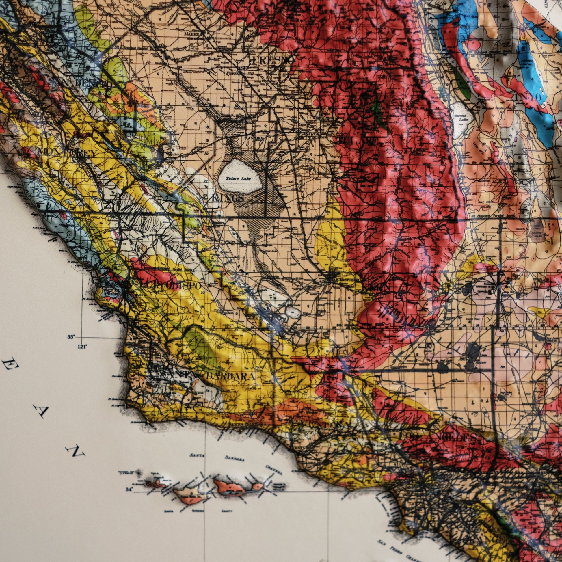
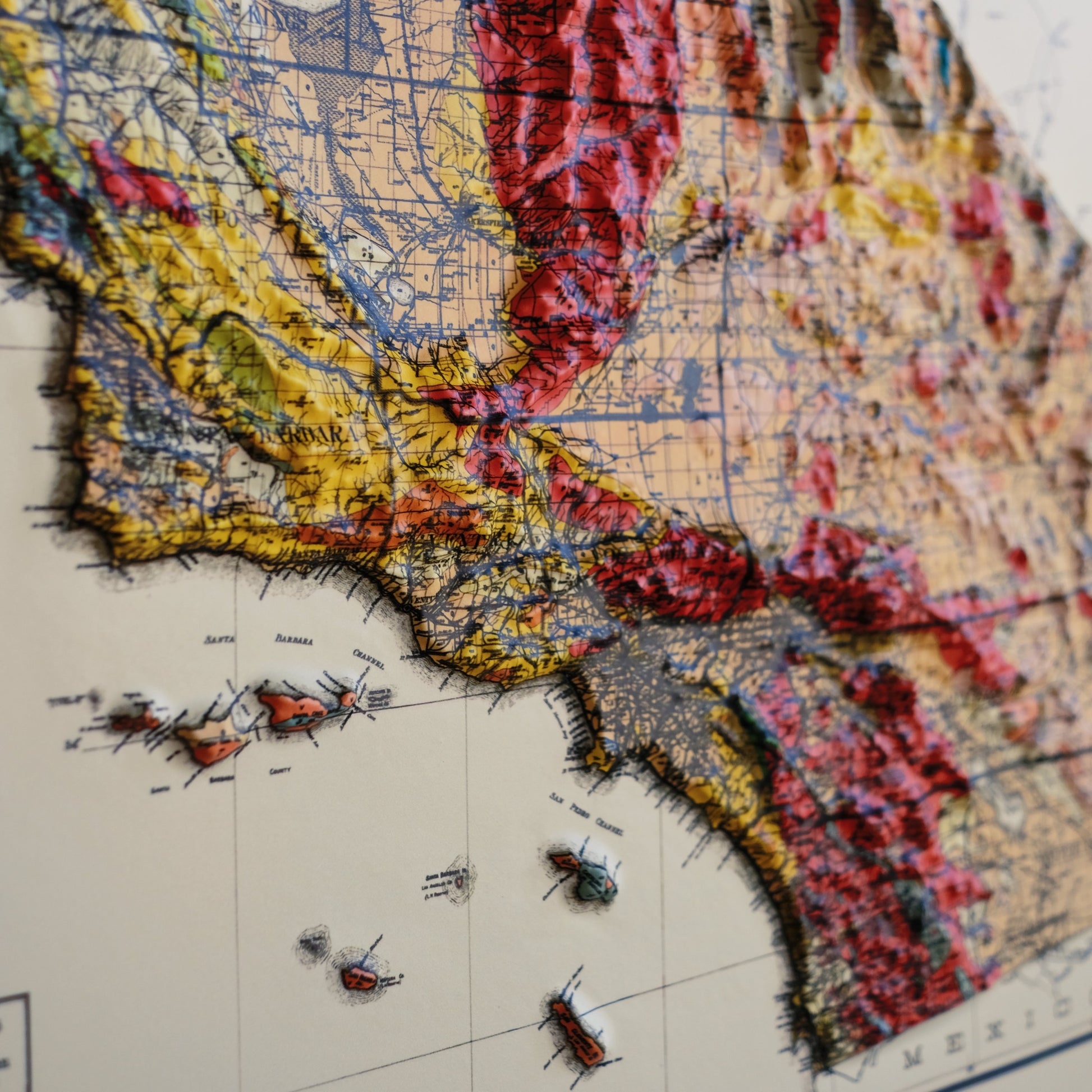
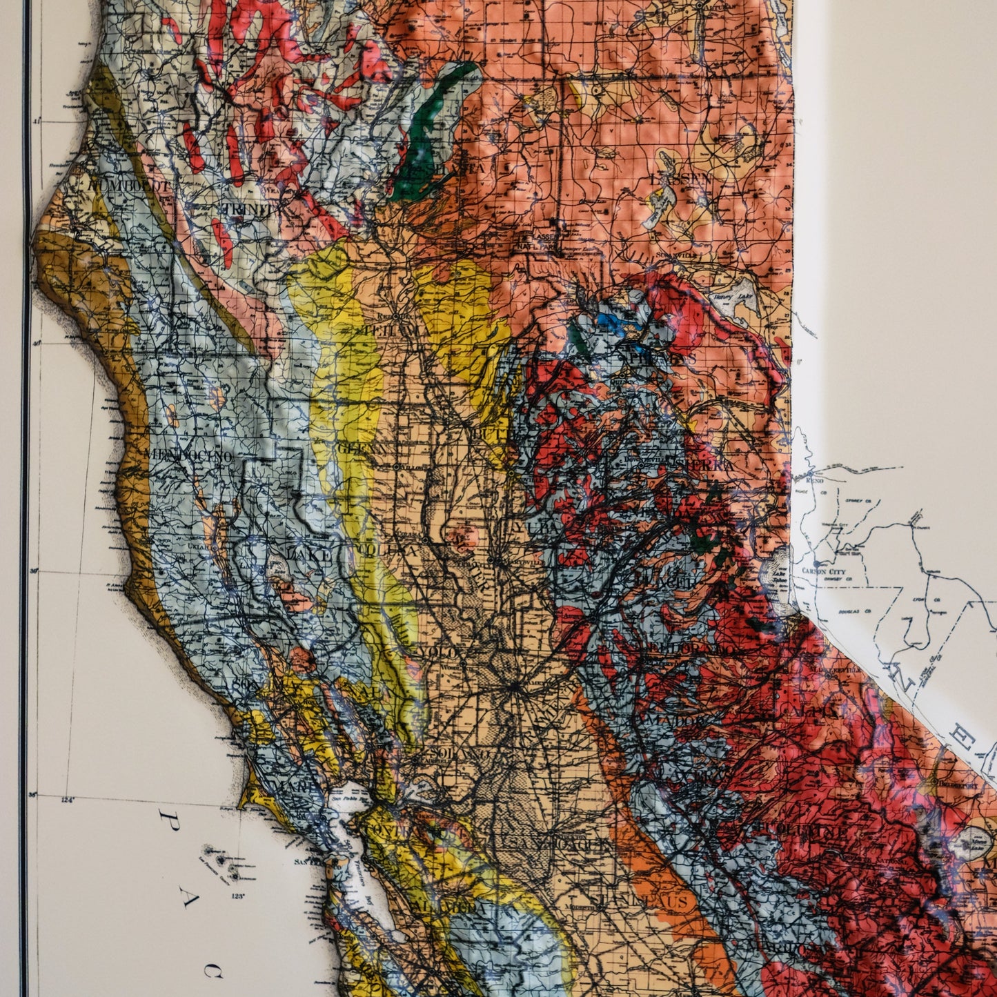
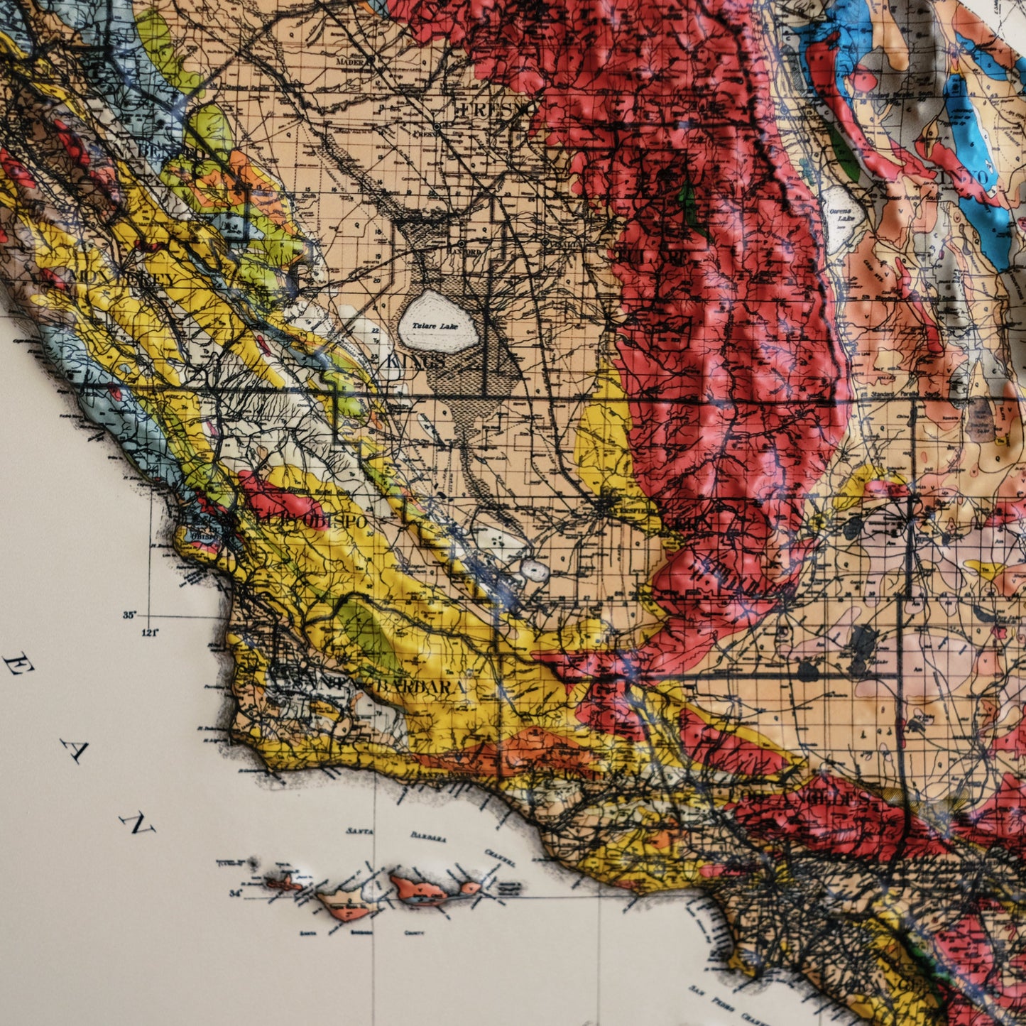
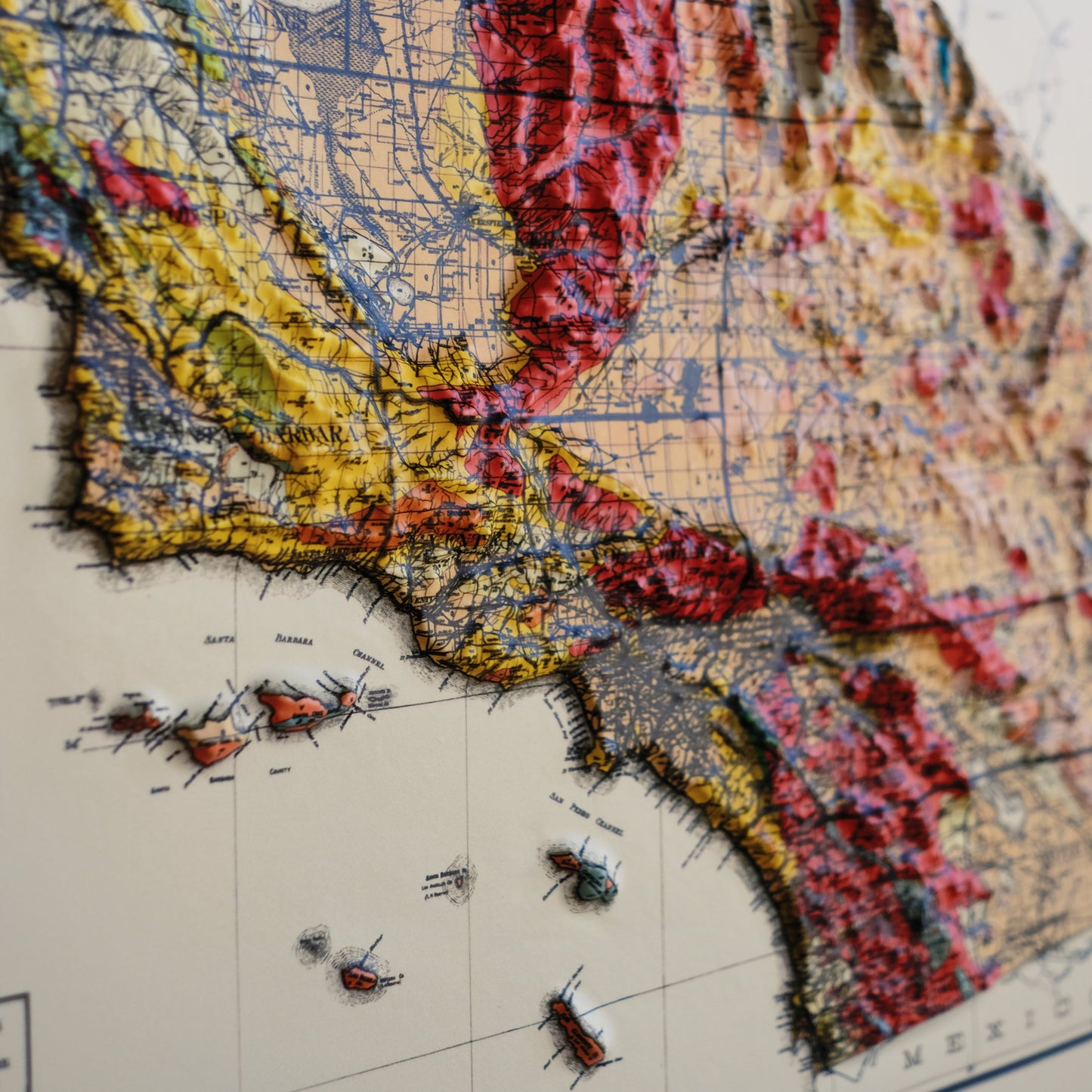
Explore the topography of California 1916 Geological Map of the state in stunning 3D Raised Relief, an original creation from Muir Way. This unique map undergoes a meticulous process where it is printed, heated, and vacuum-formed over an intricately detailed 3D mold. The result is a map that allows you to visually and tactilely explore the diverse terrain of the state, from the Sierra Mountains to the Channel Islands.
Framed maps do not have glass or acrylic over them, so you can touch the map and explore its intricacies.
PLEASE NOTE
You will love this map if you embrace its anomalies. When the plastic is heated and stretched over the 3D mold, the image may be altered, causing warped lines and text around higher elevations. The fine print on plastic is not as sharp as on paper, sometimes rendering very small text illegible.
Shipping and Returns
Shipping and Returns
FREE SHIPPING on domestic orders over $49 with UPS ground or USPS to PO Boxes.
- Paper prints ship within 1-2 business days plus transit time.
- Framed Prints ship within 2-3 weeks plus transit time.
Full refund on returns within 30 days of purchase on unframed paper prints. We do NOT ACCEPT returns or exchanges on framed prints or canvas wraps because they are made to order.
Click HERE for more information on shipping and returns
American Hardwood Frames
American Hardwood Frames
We use real Walnut for our frames, unlike the lesser quality veneer you will typically find elsewhere. With beautiful hardwood grain, each is handmade to order at a professional frame shop.
- 7/8 inch face and 1 1/2 inch depth
- Acrylite glazing (clearer than glass)
- Acid-free backing paper
- Hanging wire installed
Gallery Quality
Gallery Quality
Made in the USA
We consider our maps to be works of art, so we print and frame them accordingly.
Using award-winning printers with gallery quality fine art paper and inks, our maps will exceed expectations and last a lifetime.
- Archival Paper and Inks
- 100% Cotton, OBA-Free, and Acid-Free
- Heavyweight 21.5 mil
- Certified to last 100 years
Read customer reviews HERE attesting to the quality of our prints.
- KBKestrel B.Verified BuyerI recommend this productAge Range 35 - 44I bought this For myselfRated 5 out of 5 stars4 months agoLove it!
Was totally worth the wait! The quality and detail is incredible!
Was this helpful? - MVMike v. L.Verified BuyerI recommend this productAge Range 55 - 64Rated 5 out of 5 stars9 hours agoRegional to National.
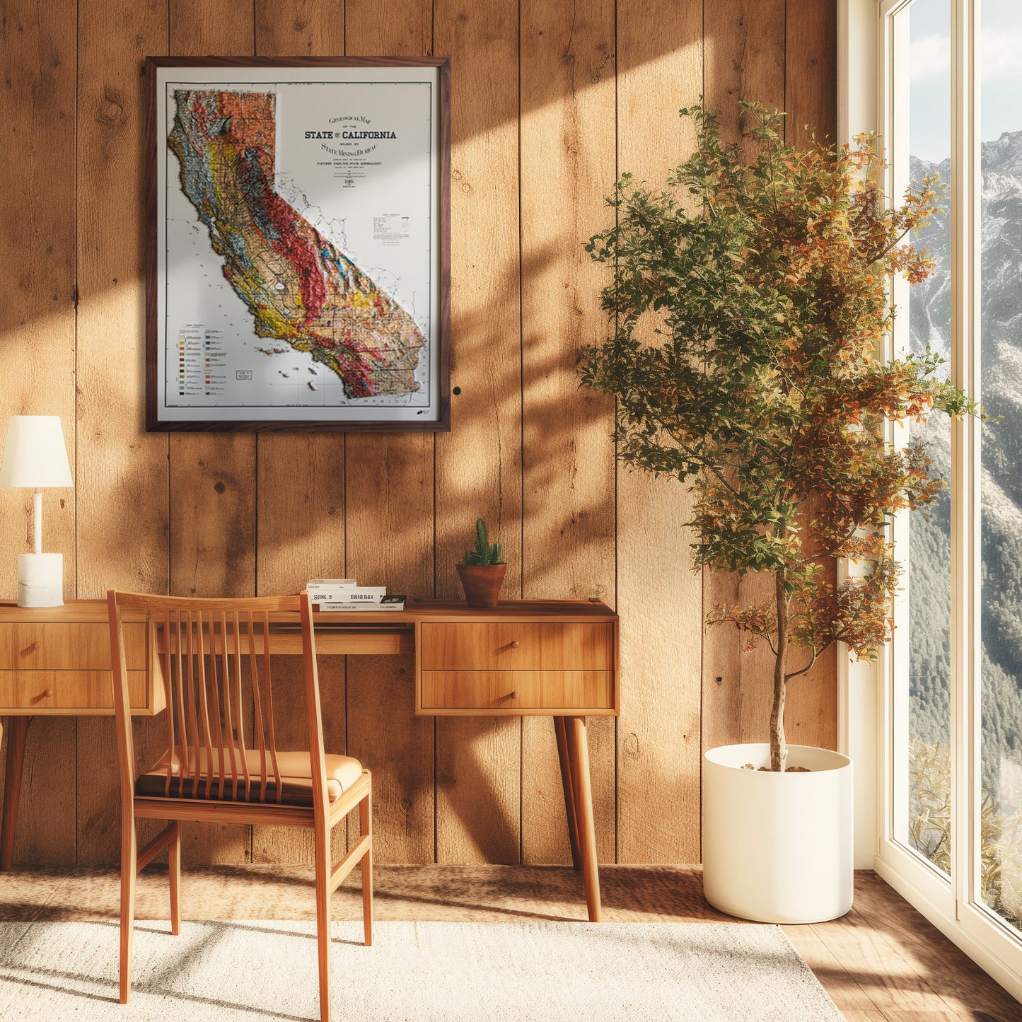
I am not certain where I came across Muir Ways’ website, but I am very happy to have done so. In my stairwell I have several maps depicting different areas of my local, Central Coast California. The 3d California map is at the top of the stairwell and offers an excellent geographical references to other maps as you descend. From our country as a whole, to a hyper local National Geographic Parks map.
The detail colorful depiction and detail make this a great find.
Was this helpful? - STSarah T.Verified BuyerI recommend this productAge Range 55 - 64I bought this For myselfRated 5 out of 5 stars11 months agoFirst purchase with Muir - and so pleased
As a map lover this is ticks new boxes. Beautiful colors and details. Highly recommend.
Was this helpful? - AKAlfred K.Verified BuyerI recommend this productAge Range 55 - 64I bought this For myselfRated 5 out of 5 stars1 year ago1916 is a winner
there are several different California maps to choose from. this one is detailed and colorful. glad i got it.
Was this helpful? - ABAdam B.Verified BuyerI recommend this productAge Range 35 - 44I bought this As a giftRated 5 out of 5 stars1 year agoCharming map
This map was a nice size, however it s ems that compared to the digital rendering seen on the internet, there is significantly less definition between peaks and valleys in the Mountains. Despite this, I still love the map. A nice decorative tactile piece.
Was this helpful?

