


Total 5 star reviews: 9 Total 4 star reviews: 1 Total 3 star reviews: 0 Total 2 star reviews: 0 Total 1 star reviews: 0
100%would recommend this product
Slide 1 selected
10 reviews
- BCBrian C.Verified BuyerRated 5 out of 5 stars3 years agoIncredibly beautiful
Wasn't sure what to expect with the framed pic of California. Loved it!!!
- CTChris T.Verified BuyerRated 5 out of 5 stars1 week agoGreat Basin map
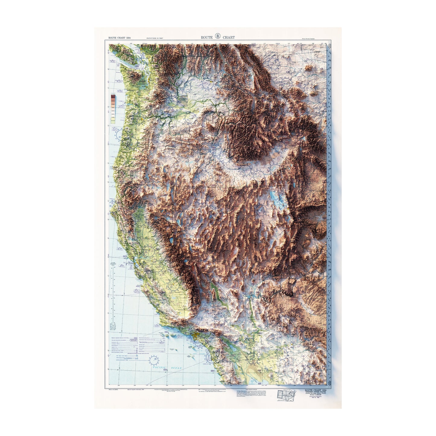
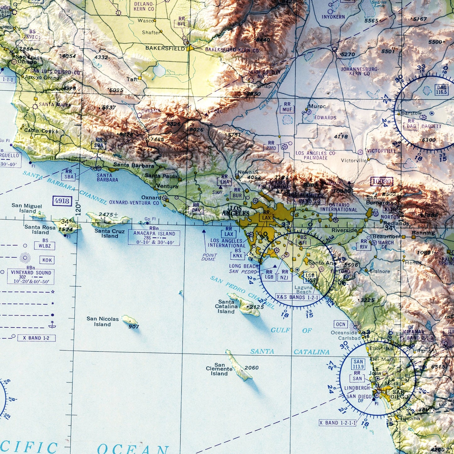
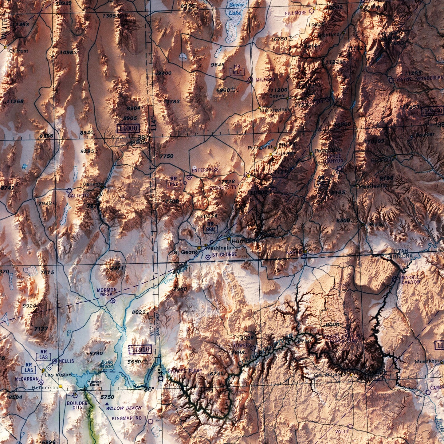
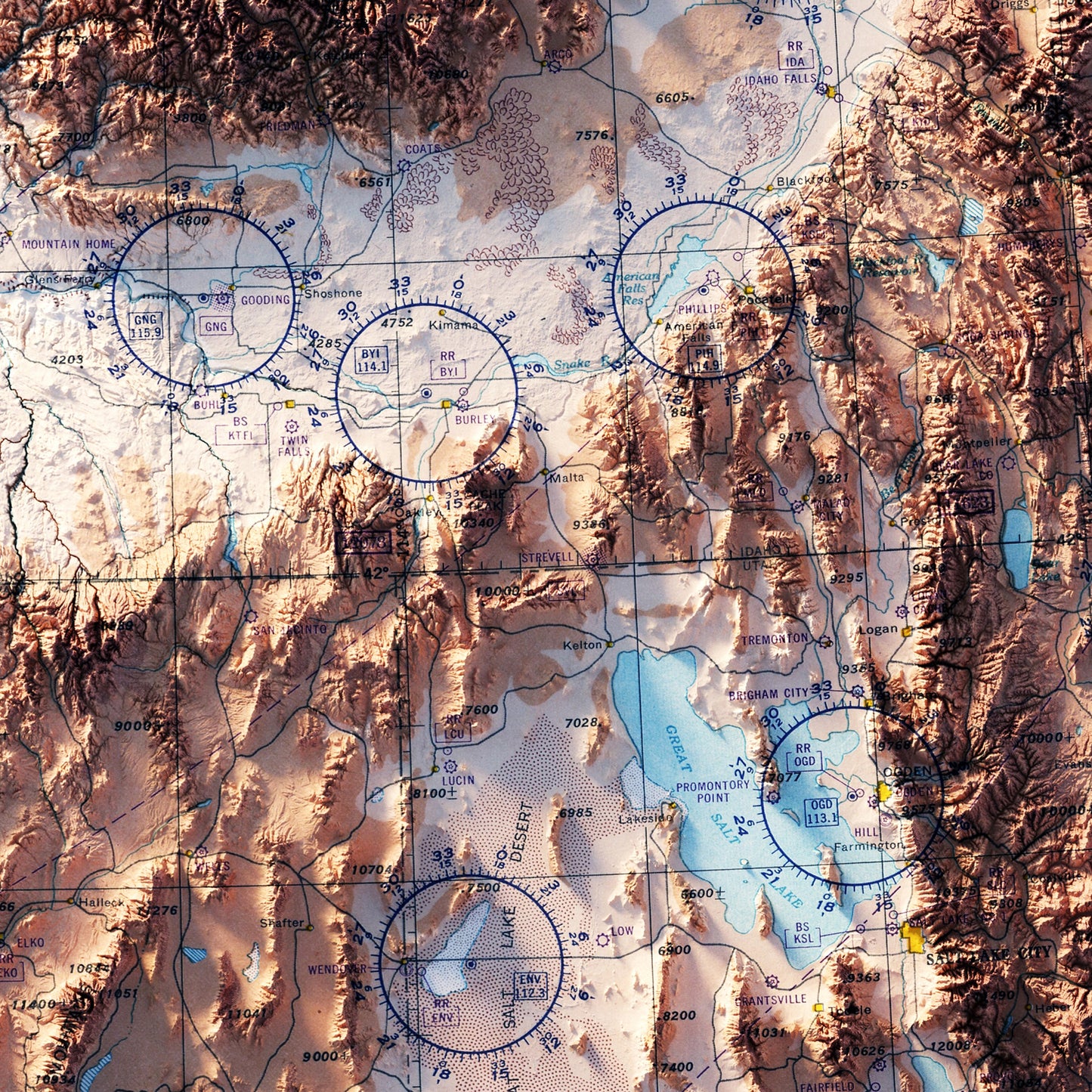
After returning from a longish road trip to the Southwest I wanted a detailed map of the Great Basin to get a better sense of the geography we travelled through- I am not disappointed in the detail and in the quality of this map
- VRValentino R.Verified BuyerRated 5 out of 5 stars2 years agoAeronautical Chart
It was the perfect gift for my wife!
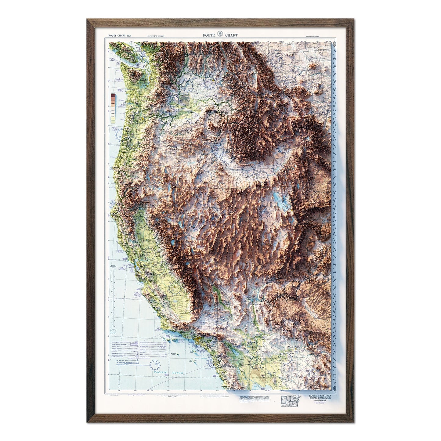
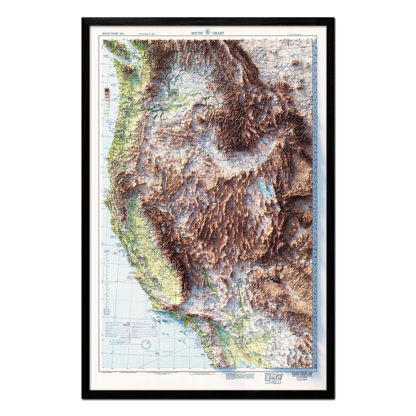
- DADaniel A.Verified BuyerRated 5 out of 5 stars2 years agoHaving it framed
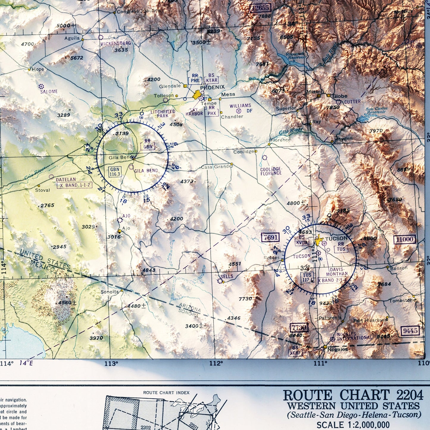
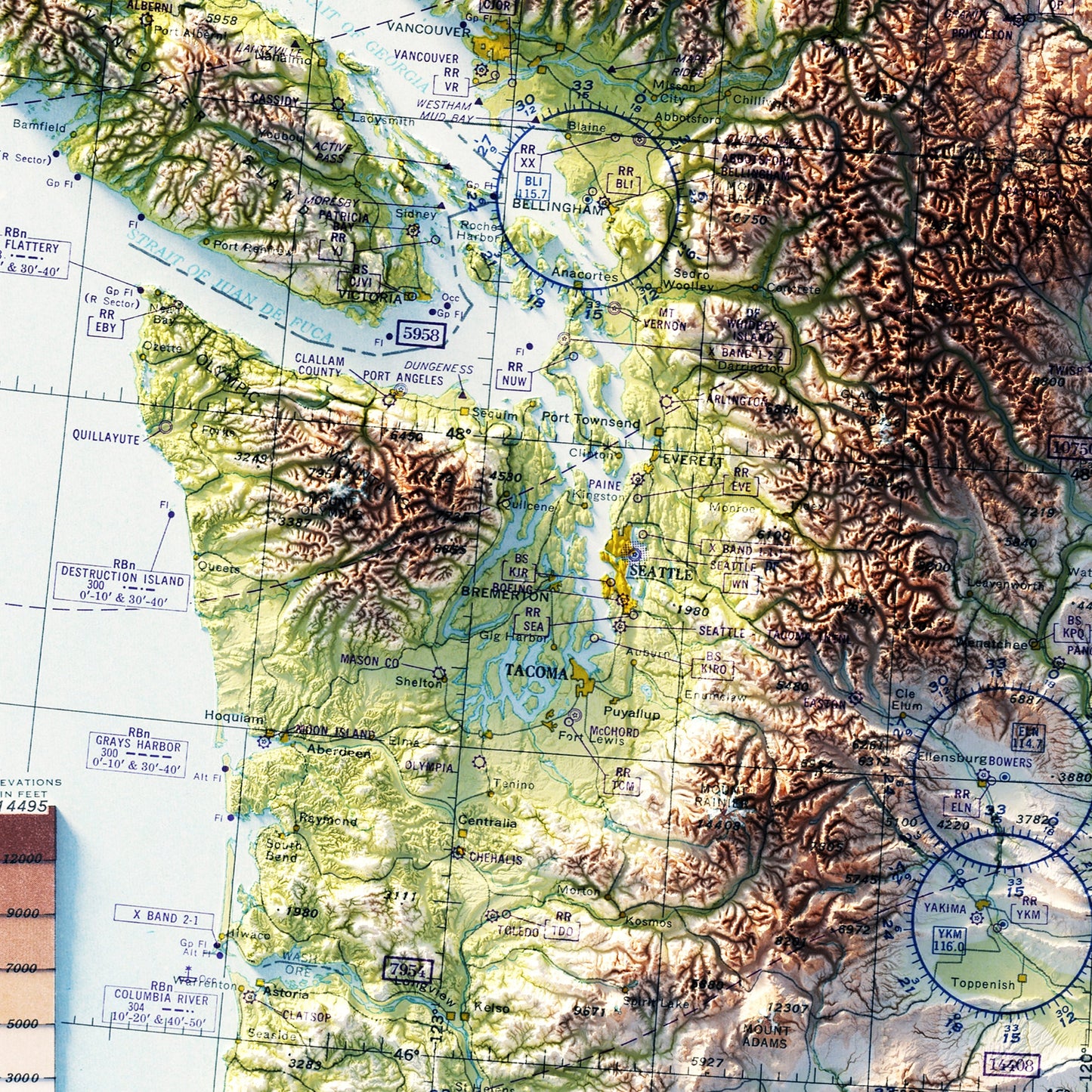
As a pilot, maps get so busy. It’s nice to have one exclusively revealing the Pilot’s primary threat -terrain! Especially since 17 % of GA accidents are controlled flight into terrain.
- MTMichael T.Verified BuyerRated 5 out of 5 stars2 years agoGreat Map!
I really like this map. Great image on high quality paper.